Gosh Darn Hoot ‘n’ Holler Routes
All routes are tentative and subject to change.
All routes start/end on private property. Please find an alternative starting location if you intend to pre-ride any of the routes.
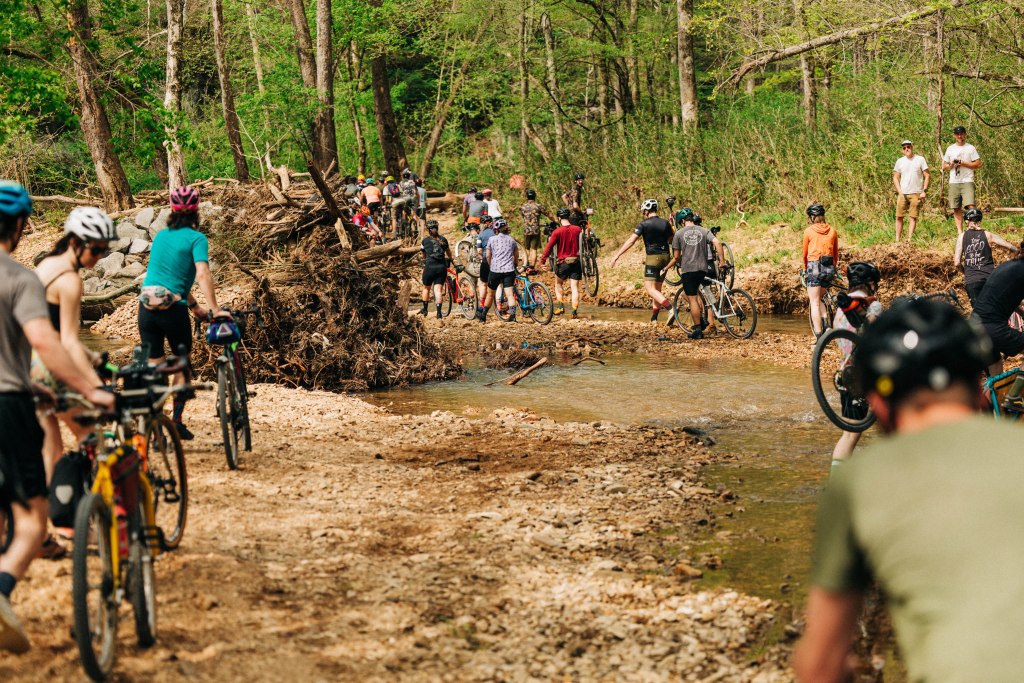
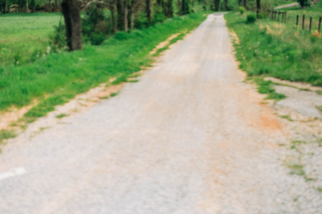
Riders can expect to encounter a variety of gravel types, from smooth dirt pack to loose, dusty, and rocky. Every route will encounter steep climbs and fast descents, and creek crossings in between.
Routes will not be published until 14 days before the event.
***Please do not pre-drive routes*** (It drives the neighbors crazy)
***Pinewood Canoe & Camp is private property. Parking there outside of the event dates is prohibited***
***Outside crews, support, or driving on course during the event is STRONGLY DISCOURAGED for the safety of our participants***
20 Mile Route
1,488 ft. of elevation gain
76% Unpaved
1 Resupply
10:10 AM Start

30 Mile Route
2,181 ft. of elevation gain
79% Unpaved
1 Resupply
10:05 AM Start
40 Mile Route
2,671 ft. of elevation gain
81% Unpaved
1 Resupply
10 AM Start
70 Mile Route
4,848 ft. of elevation gain
62% Unpaved
2 Resupplies
8 AM Start

100 Mile Route
6,997 ft. of elevation gain
63% Unpaved
3 Resupplies
7 AM Start
